
GPS tracking has become an essential part of modern life, with applications ranging from navigation to asset tracking. The basis of GPS technology is a network of satellites that orbit the Earth. By sending out signals, these satellites enable GPS receivers to calculate their exact location on the Earth’s surface.
The Global Positioning System (GPS) is a satellite-based navigation system developed by the United States Department of Defense. Today, GPS is used by millions of people around the world for a variety of purposes, including navigation, positioning, and surveying. The system consists of 24 satellites orbiting the Earth, ground control stations and GPS receivers. Using satellite signals, GPS receivers can determine their exact location on the earth’s surface and the time of day.
Understanding GPS: A Quick Overview
The Global Positioning System, commonly known as GPS, uses satellites to provide location and time details about the Earth’s surface and its surroundings. The U.S. Department of Defense developed it for military use in the 1970s, but it became available for civilian use in the 1980s.
GPS uses a network of 24 satellites orbiting the Earth, each of which emits a signal containing information about its location and when the signal was transmitted. GPS receivers on the ground use this information to determine their own location and time.
To determine its location, a GPS receiver needs signals from at least four satellites. The receiver uses the timestamps of these signals to calculate the distance to each satellite. It then uses trilateration to determine its exact location.
GPS receivers are found in a variety of devices, including smartphones, cars, and even pets. The cost of a GPS tracker can vary depending on the quality of the device, with some models costing as little as $20 and others costing hundreds of dollars.
(Source: Intelligent Living)

The role of satellites in GPS
GPS tracking relies on a network of satellites orbiting the Earth to provide location data to GPS receivers. The satellites constantly send signals to receivers on the ground, which use them to calculate their position. In this section, we will examine the key functions of satellites in GPS tracking, including orbit and transmission, satellite networks and constellations, and interaction with ground stations.
Circulate and send
GPS satellites are placed in orbit around the Earth at an altitude of about 20,000 kilometers. They constantly send signals to GPS receivers on the ground, which use the data to determine their location. The satellites are powered by solar panels designed to last about ten years before being replaced.
Satellite network and constellations
The GPS satellite network consists of approximately 30 satellites in orbit around the Earth. These satellites are organized into six different orbital planes, each containing four satellites. The satellites are evenly spaced around the Earth to ensure that there is always a clear view of at least four satellites from any point on Earth.
The GPS satellite constellation is managed by the U.S. Air Force, which is responsible for launching new satellites and decommissioning old ones. Other companies such as Iridium also operate satellite constellations for GPS positioning.
Interaction with ground stations
GPS satellites communicate with ground stations to ensure their accurate and timely signals. Ground stations are equipped with atomic clocks that are used to synchronize the time signals sent by satellites. This ensures that GPS receivers can accurately calculate their position based on the time it takes for signals from satellites to reach Earth.
(Source: Intelligent Living)
The Science of Positioning: Trilateration
GPS tracking relies on a process called trilateration to determine the location of an object. Trilateration involves measuring the distance between an object and at least three known points to determine its position.
In GPS tracking, the known points are the GPS satellites that orbit the Earth. These satellites constantly send out signals that are received by GPS receivers on the ground. By measuring the time it takes for the signal to travel from the satellite to the receiver, the distance between the two can be calculated.
Trilateration creates spheres around each known point, with the radius of each sphere equal to the distance between the known point and the tracked object. The intersection of these spheres creates a circle that represents all possible locations of the object.
However, since there are only three known points, the circle can be narrowed down to a single point through additional calculations. This is done by measuring the distance between the object and a fourth known point, which allows the exact position of the object to be calculated.
Trilateration is a highly accurate method of determining the position of an object and is used in a variety of applications beyond GPS tracking, including navigation and surveying.
(Source: Intelligent Living)
Time and distance measurements in GPS
GPS tracking is based on the concept of triangulation, which requires precise time and distance measurements. Time is measured using atomic clocks, the most accurate timepieces available. Distance is measured by the speed of light, which is constant and can be accurately calculated.
GPS satellites transmit signals that contain information about the time of signal transmission and the position of the satellite. A GPS receiver on the ground receives these signals and calculates the distance to the satellite based on the time difference between the signal being sent and received. By measuring the distance to multiple satellites, a GPS receiver can determine its own position on the Earth’s surface.
GPS satellites use atomic clocks to measure time, which are extremely accurate and stable. These clocks are so accurate that they can tell time down to one second over millions of years. The GPS also uses a master clock on the ground to synchronize the satellites’ clocks and correct any errors.
To measure distance, GPS receivers use the speed of light, which travels at a constant speed of around 299,792,458 meters per second. By measuring the time it takes for a signal to travel from a satellite to a receiver, the receiver can calculate the distance to the satellite.
The GPS system uses a method called pseudoranging, which measures the time it takes for a signal to travel from a satellite to a receiver and subtracts the time it takes for the signal to cross the Earth’s atmosphere. This technique proves valuable in correcting inaccuracies caused by atmospheric conditions such as ionospheric delay and tropospheric delay.
(Source: Intelligent Living)
Applications of GPS technology
GPS technology has a wide range of applications in various industries. Here are some of the most common uses of GPS technology:
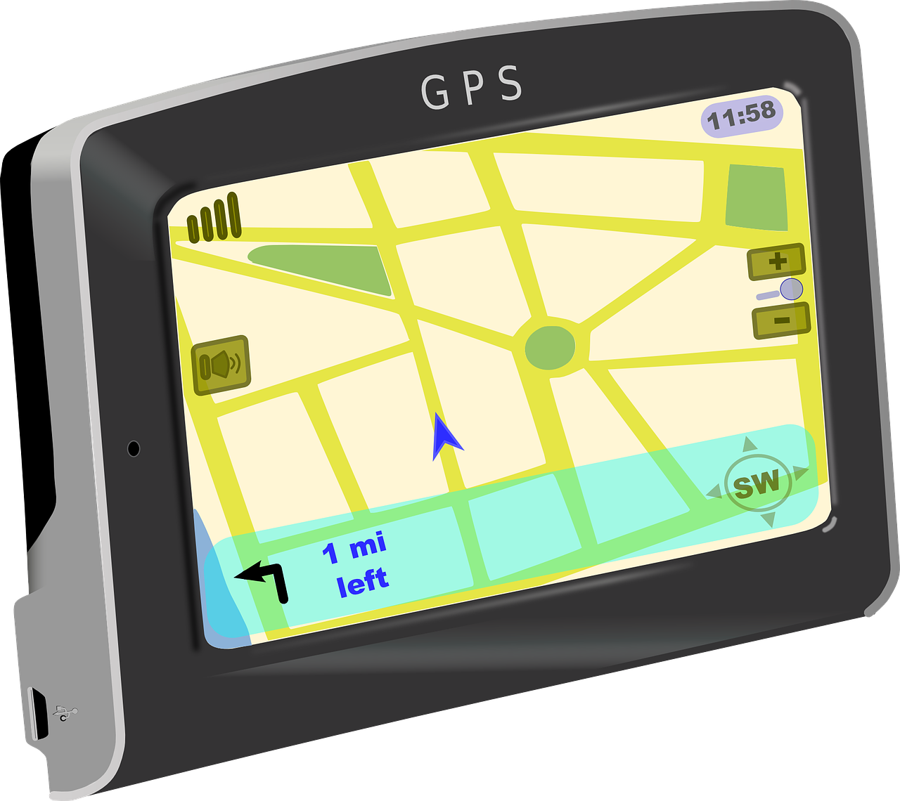
Vehicle navigation
GPS technology has revolutionized the way people navigate while driving. With GPS-enabled devices like smartphones and car navigation systems, drivers can easily pinpoint their exact location on a map and get directions to their destination. This technology has made it easier for people to navigate unfamiliar areas and reduced the frequency of disorientation.
Earthquake monitoring
GPS technology is also used in earthquake monitoring. Scientists use GPS devices to track the movement of tectonic plates and identify potential areas of seismic activity. This information can be used to predict earthquakes and warn people in affected areas.
Mapping and movement tracking
GPS technology is widely used for mapping and movement tracking. With the help of GPS-enabled devices, people can track the movement of vehicles, ships, planes and even people. This technology is widely used in the logistics and transportation industry to track the movement of goods and ensure timely delivery.
Google Maps is a popular mapping and navigation application that uses GPS technology to pinpoint the user’s exact location and provide directions to their destination. The application also provides real-time traffic updates and alternative routes to avoid traffic jams.
(Source: Intelligent Living)
Other global navigation satellite systems
GPS is not the only global navigation satellite system (GNSS) in use. Other GNSS systems are available and used in different parts of the world. These systems include:
GLONASS
GLONASS is the Russian GNSS system. It consists of a constellation of satellites in orbit around the Earth. GLONASS offers coverage for Russia as well as parts of Europe and Asia. It works on the same principles as GPS and can be used in conjunction with GPS to provide more accurate location information.
Beidou navigation satellite system
Beidou is the Chinese GNSS system. It consists of a constellation of satellites in orbit around the Earth. Beidou covers China and parts of Asia. It works on the same principles as GPS and can be used in conjunction with GPS to provide more accurate location information.
L1
L1 is a GNSS signal used by GPS, GLONASS and Beidou. It is the main signal for navigation and timekeeping. L1 operates at a frequency of 1575.42 MHz and has a wavelength of 19 centimeters.
Diploma
Finally, our journey through “The Science Behind GPS Tracking: How Does It Work?” has decoded the intricacies of the technology. Starting with an overview and the central role of the satellite, we covered trilateration, time and distance measurements, and demonstrated the precision of GPS.
Research into various applications, from navigation to logistics, showed that it has a transformative impact on daily life. We have also highlighted the collaborative nature of global navigation satellite systems and highlighted their ubiquity.
Understanding GPS increases our appreciation and drives innovation. As GPS continues to evolve, we expect to see more notable applications and benefits that will solidify its role in our modern world.
Comments are closed.